Title: Map of the United States and their territories between the Mississippi and the Pacific Ocean and part of Mexico. compiled from surveys made under the order of W. H. Emory. Major 1st Cavalry, U. S. Commissioner. And form the Maps of the Pacific Railroad, Gene
Content Date: 1857-1858
Author: Jekyll, Thomas
Corporate Author: Selmar Siebert's Engraving and Printing Establishment
Size: 52 x 58 cm
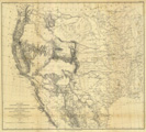
Description: Includes topographic features.Indicates locations of forts.Upper margin: United States & Mexican Boundary Survey. General Map.
Call Number: 1857-0009